Tees Lower and Estuary Operational Catchment
Water bodies
There are 19 water bodies in this operational catchment.
Filter map layers
Data
Protected Areas
About
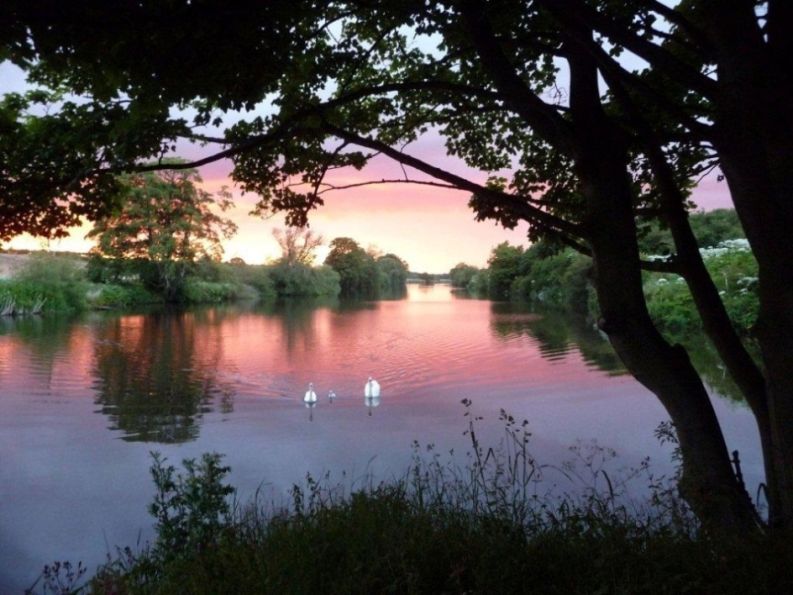
The Lower Tees and estuary operational catchment stretches from Croft-on-Tees to the North Sea. The Tees Barrage at Stockton-on-Tees impounds 18km of formerly tidal estuary, maintaining water levels for amenity and recreation. Significant tributaries include the Lustrum Beck which flows through Stockton and the Billingham/Bishopton Beck catchment. The largest conurbation in the Tees is formed by Stockton, Middlesbrough, Redcar and Hartlepool as well as industrialised areas of Billingham, Seal Sands and South Bank. Protected areas in the catchment include the Teesmouth and Cleveland Coast SPA and Extension pSPA, and bathing waters at Seaton Carew North and Centre, North Gare and Redcar Coatham.