Hull Upper Operational Catchment
Water bodies
There are 11 water bodies in this operational catchment.
Filter map layers
Data
Protected Areas
About
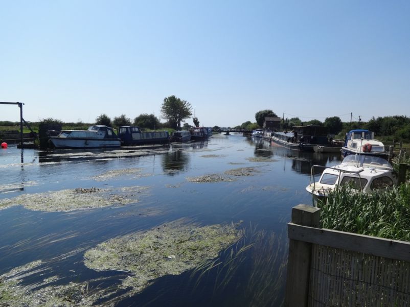
The Upper Hull catchment largely centres on Driffield and surrounding area. It covers the Wolds from Thixendale in the west to Kilham in the north, Foxton on the Wolds in the east and Hutton Cranswick in the south. The area is characterised by rolling chalk hills and dry valleys on the Wolds and the land use is predominantly arable. The River Hull is sourced from chalk streams located to the north and west of Driffield which flow towards Driffield Beck where they are joined by the Driffield Trout Stream which then becomes the River Hull.