Wear Upper Operational Catchment
Water bodies
There are 15 water bodies in this operational catchment.
Filter map layers
Data
Protected Areas
About
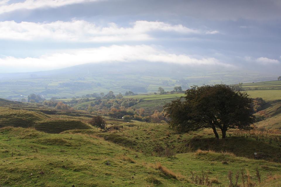
The River Wear rises in the Pennines to the east and is formed at Wearhead from the confluence of Killhope Burn and Burnhope Burn. Most of the upper Wear is within the North Pennines AONB, characterised by upland heather and peat moors, and is within the Moor House SAC and North Pennine Moors SPA. The area is rural having a long history of hill farming and mining. The tributaries most affected by pollution from metal mines, are Rookhope and Sedling Burn. Reservoirs at Burnhope, Tunstall & Waskerley provide water suitable for domestic use. Fish migration is restricted by natural waterfalls.