Wyre and Calder Operational Catchment
Water bodies
There are 8 water bodies in this operational catchment.
Filter map layers
Data
Protected Areas
About
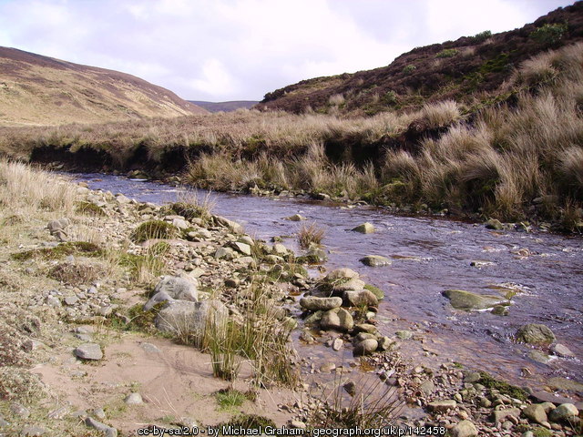
The Wyre and Calder operational catchment starts at the headwaters of the Wyre to St. Michaels on Wyre. Abbeystead reservoir is near the source of the Wyre and is a barrier to fish movement. Upstream the land is mainly used for sheep farming.