Broadland Rivers Management Catchment
Operational catchments
There are 4 operational catchments in this management catchment.
Filter map layers
Data
Protected Areas
Catchment Partnerships Pages
Catchment Partnerships work at a catchment scale to improve local environmental understanding and encourage community participation through collaboration and integration leading to improved actions.
About
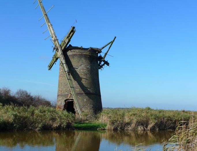
The Broadland Rivers catchment is an iconic landscape. The upper reaches of the rivers, including the river Wensum, one of the most important chalk river habitats in the country, and the river Waveney, a classic lowland river, contrast with the low lying reaches further down the catchment where the land is mostly at or below sea level. Amongst these slow flowing rivers lie the Broads, an area of interconnected lakes and wetlands. The ecology of these lower reaches is affected by tidal surges from the North Sea as well as what happens upstream.