Linked Data API
Show Search Form
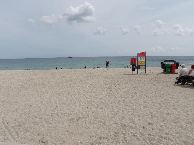
2024 Bathing Water Profile for Gyllyngvase
http://environment.data.gov.uk/data/bathing-water-profile/ukk3102-28600/2024:1
| pollution risk forecasting |  |
 |
|||||||||||||||||||||||
|---|---|---|---|---|---|---|---|---|---|---|---|---|---|---|---|---|---|---|---|---|---|---|---|---|---|
| season finish date |   |
||||||||||||||||||||||||
| season start date | |
||||||||||||||||||||||||
| sampling frequency | 10 | |
|||||||||||||||||||||||
| bathing water description | Gyllyngvase is on the south coast of Cornwall. It is a sandy beach resort, approximately 350 metres wide, backed by the Queen Mary Gardens. | |
|||||||||||||||||||||||
| controller name | Cornwall | |
|||||||||||||||||||||||
| county name | Cornwall | |
|||||||||||||||||||||||
| eso outfalls statement | There is an emergency/storm overflow from the pumping station at Queen Mary Gardens that discharges to the sea approximately 400m southwest of the bathing water. The operation of the overflow can lead to a temporary drop in the bathing water quality, although such events appear to be rare. This bathing water is included in the Surfers Against Sewage “Safer Seas Service”. This service can alert you to Combined Storm Sewer Overflow discharges via a phone App and in addition, it includes the Environment Agency Pollution Risk Forecast warnings where they are available. Further details of the service can be found at - http://www.sas.org.uk/safer-seas-service/ | |
|||||||||||||||||||||||
| history statement | The sewage treatment scheme for Falmouth was partially completed by South West Water in 1998. The scheme included the replacement of the untreated sewage discharges at Middle Point and Pennance Point with a 690m long outfall off Black Rock in Carrick Roads. Screened effluent was discharged through this outfall on the ebb tide only, using a storm sewage tunnel for tidal storage. The final scheme for Falmouth, which provides secondary treatment, sand filtration and ultraviolet (UV) disinfection for sewage from Falmouth and Flushing, was completed in 2000. The scheme also included the removal of the Severn Stars combined sewer overflow (CSO) at Flushing, and improvements to the CSOs at Mylor Bridge, and Market Street and Bake House Yard in the Penryn River in 2001. Further upper the catchment, improvements were made in 2002 to the continuous discharges at Ladock, Mylor, St Mawes and 13 CSOs in Truro. A further three CSOs in Truro were improved in 2003, together with CSOs at Malpas, Ladock and Truro STWs, and the pumping station at Devoran. The following discharges are scheduled to be improved to protect shellfish waters: St Just in Roseland STW (by March 2023), Castle Street CSO (by June 2021), St Thomas Street CSO (by March 2023), and emergency/storm overflows at St Mawes No 1 and No 2 pumping stations (by March 2023). | ||||||||||||||||||||||||
| local authority statement | The urban area of Falmouth immediately behind the beach is served by a combined (surface and sewer) system. There are no outfalls from the system onto the beach. | |
|||||||||||||||||||||||
| macro algae statement | For the four year (2020-2023) assessment period where data is available, seaweed (macroalgae) was assessed as being sufficient to be objectionable for 10% of visits, with 73% of visits noting the presence of seaweed (macroalgae). This bathing water does not have a history of large amounts of seaweed (macro algae). | |
|||||||||||||||||||||||
| phytoplankton statement | For the four year (2020-2023) assessment period where data is available, phytoplankton (microscopic algae) was not noted at this site. Phytoplankton (microscopic algae) naturally increase in number at certain times of the year. This process is known as a phytoplankton bloom. This bathing water does not have a history of phytoplankton blooms. The risks to human health from contact, ingestion or inhalation with marine algae that currently occur in UK coastal waters are considered to be low. However, some individuals may be more sensitive and display some reactions. A common marine algae found in UK coastal waters is Phaeocystis, which is often mistaken for sewage as it forms foam and a brown scum, but it is non-toxic. | |
|||||||||||||||||||||||
| pollution risk forecast statement | There are no active pollution risk forecasts made at this bathing water. However any bathing water has the potential to be affected by a pollution incident and if this occurs a pollution risk warning with associated advice against bathing will be issued on this website. | |
|||||||||||||||||||||||
| stw outfalls statement | The outfall from Falmouth STW discharges to the Carrick Roads two and a half kilometres east of the bathing water. This discharge is disinfected and designed to protect water quality. | |
|||||||||||||||||||||||
| version string | 1 | |
|||||||||||||||||||||||
| visible pollution statement | Environment Agency samplers make observations of litter present on the beach at every visit, this includes assessments of sewage debris, litter and tar. At Gyllyngvase for the four year (2020-2023) assessment period where data is available, sewage debris was not noted at this site. Litter was not assessed as being sufficient to be objectionable, but was observed as being present on 38% of visits. Tarry residue was not noted at this site. | |
|||||||||||||||||||||||
| working with industry statement | There is no effect on the bathing water quality from industries at Falmouth. | |
|||||||||||||||||||||||
| zoi description | The catchment surrounding Gyllyngvase is approximately 33 hectares. There are no streams directly to the beach. It is a small urban catchment within Falmouth in the Fal Estuary, which is fed by the Fal, Carnon, Allen and Tresillian rivers. These streams have a slow response to rainfall although the upper reaches of the rivers react rapidly. The catchment is in the Cornwall Area of Outstanding Natural Beauty (AONB), and next to the Fal and Helford Special Area of Conservation (SAC). | |
|||||||||||||||||||||||
| bathing water |
|
||||||||||||||||||||||||
| local authority | Cornwall | |
|||||||||||||||||||||||
| season interval |
|
||||||||||||||||||||||||
| source | row=0329 | ||||||||||||||||||||||||
| standard language collection |
|
||||||||||||||||||||||||
| web res image | ukk3102-28600_1-webres.jpg | ||||||||||||||||||||||||