Lune Management Catchment
Operational catchments
There are 6 operational catchments in this management catchment.
Filter map layers
Data
Protected Areas
Catchment Partnerships Pages
To view the catchment partnership pages switch to the river basin management plan
About
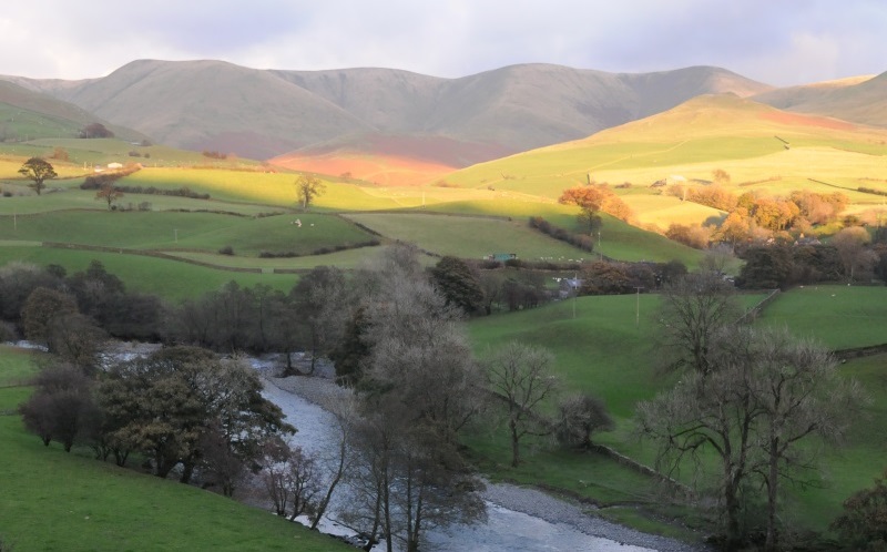
The Lune Catchment encompasses the whole of the river Lune and all its many tributaries. This includes big rivers like the Keer, Rawthey,Clough, Dee, Greta, Roeburn, Conder, Cocker, Hindburn & Wenning as well as the many little streams and becks that flow into the Lune. It covers a varied landscape and supports a wide range of habitats, wildlife and industries. The Catchment spans a huge geographical area from above Tebay in the North to the sea in Morecambe and out to the East including Ingleton Falls and Clapham.