Keer Operational Catchment
Water bodies
There are 3 water bodies in this operational catchment.
Filter map layers
Data
Protected Areas
About
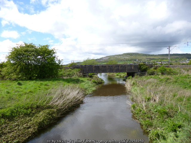
For parts of its course, the Keer marks the boundary between Lancashire and Cumbria, rising on Docker Moor near the village of Whittington before following a westerly course via the villages of Capernwray, Borwick, Warton and town of Carnforth. The river runs through salt marshes before it enters Morecambe Bay. These saltmarshes fall within Morecambe Bay SAC and SPA.