Lark Operational Catchment
Water bodies
There are 12 water bodies in this operational catchment.
Filter map layers
Data
Protected Areas
About
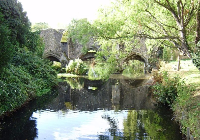
The River Lark rises as a chalk stream to the south of Bury St Edmunds and flows North west through Mildenhall to the South Level. Its tributaries include the River Linnet, Culford Stream; Cavenham Stream; Tuddenham Stream and the River Kennet. The area is mainly rural, with many small villages and the market towns of Bury St Edmunds and Mildenhall. Land use is diverse with tree belts and woodlands. In the Lark valley the dryness of the soils has limited their land-use and historically there were extensive heaths, Cavenham Heath is the largest survivor and is now a nature reserve.