Cam and Ely Ouse Management Catchment
Operational catchments
There are 6 operational catchments in this management catchment.
Filter map layers
Data
Protected Areas
Catchment Partnerships Pages
To view the catchment partnership pages switch to the river basin management plan
About
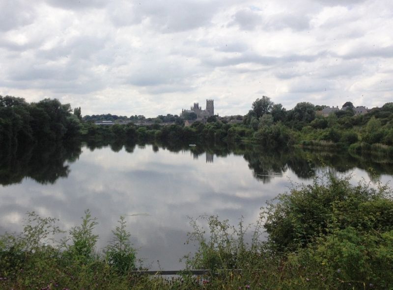
Within the Cam and Ely Ouse catchment the Great Ouse River drains an area of approximately 3,600 square kilometres extending from Swaffham in the north to Royston and Saffron Walden in the south and from Potton in the west to Attleborough in the east. The Great Ouse, in this catchment, is fed by four main tributaries: The River Cam, which receives water from the River Granta, the South Level Lodes, the River Rhee and Bourn Brook. The River Lark. The Little Ouse and its tributaries which include the Thet and the Sapiston/Black Bourn. The River Wissey. The area is characterised by the East Anglian Chalklands in the south, Brecklands in the north and the South Level fenland to the west of the area. The catchment is predominantly rural and includes high-grade agricultural land. The main urban areas within the Cam and Ely Ouse are Cambridge, Royston, Saffron Walden, Newmarket, Bury St Edmunds, Ely and Swaffham. The area is rapidly developing. The catchment also supports a number of nationally and internationally important water-related sites that are of exceptional value.