Mease Rivers Operational Catchment
Water bodies
There are 5 water bodies in this operational catchment.
Filter map layers
Data
Protected Areas
About
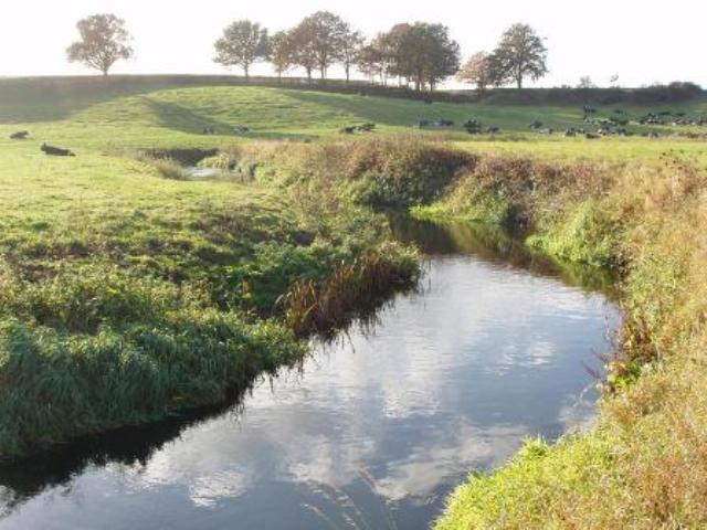
The River Mease rises in north-west Leicestershire and flows westwards across a largely rural landscape before joining the River Trent at Croxall. It represents a relatively un-modified lowland clay river. The largest conurbation is the market town of Ashby de-la-Zouch. The Gilwiskaw Brook and the River Mease is a designated Site of Special Scientific Interest and a Special Area of Conservation, supporting populations of spined loach and bullhead, but does not currently meet its conservation objective due to high phosphate levels. There is a history of mining within the catchment, which also sits within a Nitrate Vulnerable Zone.