Tame Anker and Mease Management Catchment
Operational catchments
There are 6 operational catchments in this management catchment.
Filter map layers
Data
Protected Areas
Catchment Partnerships Pages
To view the catchment partnership pages switch to the river basin management plan
About
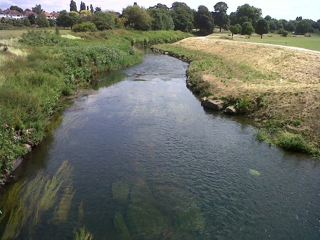
The Tame Anker Mease catchment extends from the headwaters of the River Tame in the Black Country to its confluence with the River Trent at Alrewas and then downstream on the River Trent to its confluence with the River Dove at Newton Solney. This diverse catchment incorporates the heavily urbanized areas of Birmingham, Walsall, Sandwell, and the eastern parts of Wolverhampton and Dudley, with the associated Birmingham Canal Navigations, the most extensive canal network of any urban area in the UK. More rural and intensive agricultural areas are found in the eastern and southerly parts of the catchment.