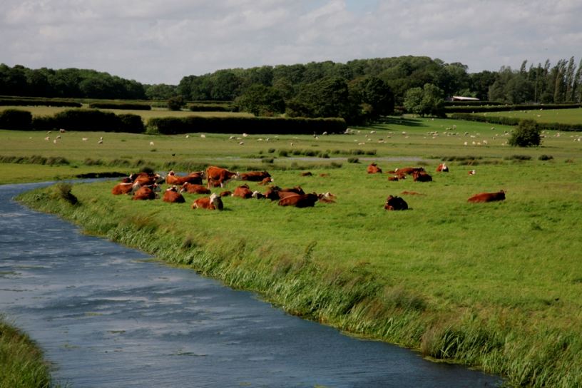
Rother Levels Operational Catchment
Water bodies
There are 9 water bodies in this operational catchment.
Filter map layers
Data
Protected Areas
About
The Rother Levels is a large operational catchment characterised by agricultural land, where the water levels are managed for efficient cultivation. The river is also important for tourism. For instance, leisure boating is increasing in popularity, riverside walks are easily accessible from Bodium Castle and the steam railway operates along the river valley. Darwell Reservoir provides drinking water for Hastings, as well as being a popular fly fishing spot. Some of the eastern part of the operational catchment falls within a SSSI and much of the area is a designated nitrate vulnerability zone.