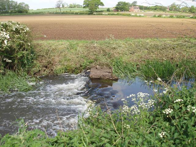
Sence Anker and Bourne Rivers and Lakes Operational Catchment
Water bodies
There are 13 water bodies in this operational catchment.
Filter map layers
Data
Protected Areas
About
This is a mixed urban and rural catchment with Hinckley, Nuneaton and Atherstone draining to the River Anker, Sketchley and Wem brooks, and more rural land, used for agricultural production around Coalville, Ibstock and Fillongley, draining to the rivers Sence and Bourne. Several water bodies within the urban areas have been heavily modified due to urbanisation and flood risk management. The Coventry & Ashby canal crosses the catchment. The River Bourne is within a designated drinking water protected area and the entire catchment is a designated Nitrate Vulnerable Zone. There is a history of mining within the catchment.