South Level and Cut-Off Channel Operational Catchment
Water bodies
There are 4 water bodies in this operational catchment.
Filter map layers
Data
Protected Areas
About
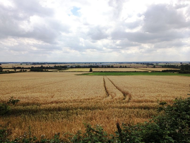
The South Level is a level dependent environment and consists of a series of high level rivers and low level drains. The area is mainly rural, with the city of Ely at its centre, and the market towns of Soham and Littleport. Agriculture is the main land use. Across the area Internal Drainage Boards are responsible for managing the water in the low level network of drains. During wet periods, water is pumped into the high level system to help land drainage and prevent flooding, and during the summer, water is transferred back into the low level system for irrigation.