Tame Upper Rivers Operational Catchment
Water bodies
There are 4 water bodies in this operational catchment.
Filter map layers
Data
Protected Areas
About
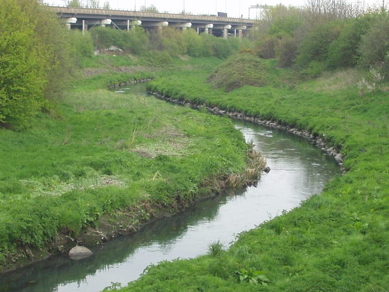
The heavily urbanised Upper Tame catchment is characterised by the Oldbury and Willenhall arms of the River Tame to their confluence at Bescot and a canal network that includes the Titford, Walsall and Birmingham & Wolverhampton canals in part. All water bodies in the catchment are heavily modified or artificial. Physical modifications to accommodate urbanisation and reduce flooding have damaged the habitat for wildlife. Other pressures on the water environment include contaminated urban runoff and treated sewage effluent. Historical industrial activity has left a legacy of contaminated land in some areas that has resulted in localised pollution of groundwater.