Rother Upper Operational Catchment
Water bodies
There are 6 water bodies in this operational catchment.
Filter map layers
Data
Protected Areas
About
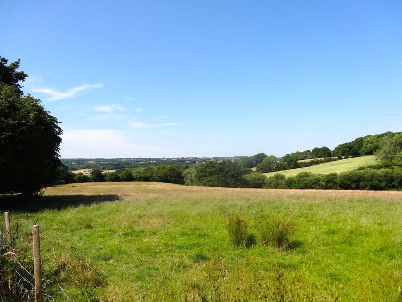
The Upper Rother is a rural operational catchment, contained entirely within the High Weald Area of Outstanding Natural Beauty. It is characterised by steep wooded valleys and small hamlets, with the rivers an integral feature of the landscape. There are a number of protected areas within the operational catchment including drinking water protected areas and a nitrate vulnerable zone.