Rother Western Operational Catchment
Water bodies
There are 11 water bodies in this operational catchment.
Filter map layers
Data
Protected Areas
About
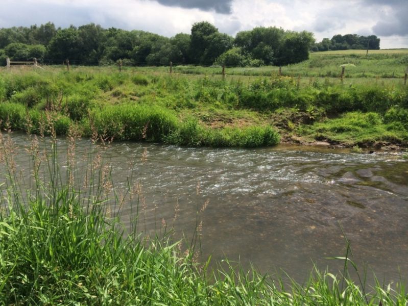
The Western Rother operational catchment includes the River Rother and its tributaries. It rises in the west just north of Petersfield and flows east through rural, agricultural land joining the Arun at Pulborough. Due to its location and geology the catchment suffers from diffuse pollution, and is particularly prone to sever sedimentation. There are also many structures along the Rother which prevent fish movement through the river system.