Wissey Operational Catchment
Water bodies
There are 9 water bodies in this operational catchment.
Filter map layers
Data
Protected Areas
About
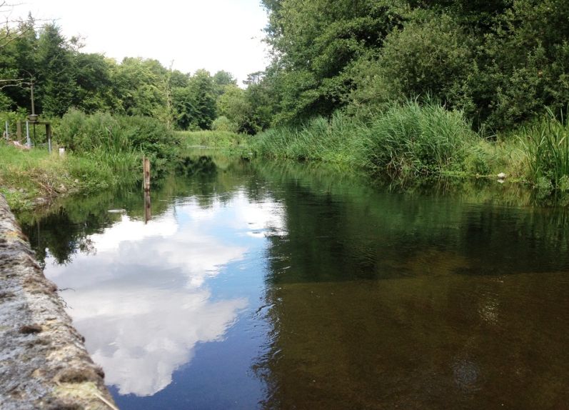
The Wissey rises as a chalk stream east of Bradenham and flows in a westerly direction for 35 miles until it joins the Great Ouse. The area is mainly rural, with the market towns of Swaffham and Watton in the east and the village of Stoke Ferry in the west. Agriculture is the main land use with cereals as the major crop. The value of these crops means, in summer, up to 14% of the arable area may be irrigated using water from the river or groundwater. The catchment is a key water source for public water supply and irrigation.