Alt Operational Catchment
Water bodies
There are 9 water bodies in this operational catchment.
Filter map layers
Data
Protected Areas
About
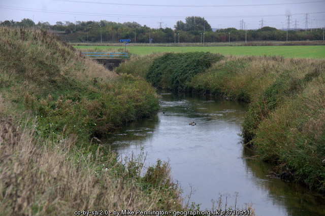
The River Alt begins in Huyton, follows the M57 until the outskirts of Maghull, then heads across low-lying farmland to its estuary in Hightown, a journey of approximately 30 miles. The population of this area is approximately 350000 people. This catchment is impacted by both rural & urban diffuse pollution, to the south there are pressures from industrial, transport and mis-connections sources, while in the north, an area drained and subject to water-level management, is impacted by agricultural run-off. Throughout the whole catchment many of the Waterbodies are heavily modified and point-source sewage discharge has been a major pollution source.