Alt and Crossens Management Catchment
Operational catchments
There are 2 operational catchments in this management catchment.
Filter map layers
Data
Protected Areas
Catchment Partnerships Pages
Catchment Partnerships work at a catchment scale to improve local environmental understanding and encourage community participation through collaboration and integration leading to improved actions.
About
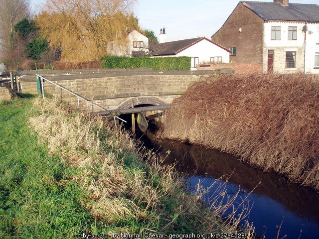
The Alt/Crossens catchment is an area of low-lying land between the Mersey and Ribble Estuaries. Approximately 30% of the catchment is made up of urban areas, including North Liverpool, Formby and Southport along the coast and Kirby, Maghull and Ormskirk inland. A large area of the catchment is high grade farmland which is crossed by a series of highly modified watercourses and drains. The water levels are controlled by 13 pumping stations and the catchments drain out into Liverpool Bay and the Ribble Estuary.
