Adur Upper Operational Catchment
Water bodies
There are 19 water bodies in this operational catchment.
Filter map layers
Data
Protected Areas
About
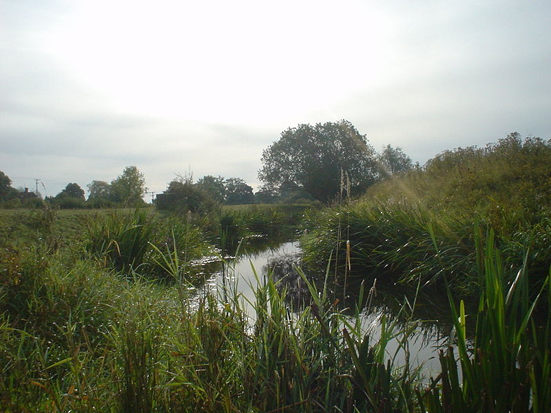
The Adur is a typical lowland river with a catchment area of about 500km2.The river begins as two separate branches, the western arm rising at Slinfold and the eastern arm at Ditchling Common both fed by springs from the Brighton Chalk Block. The branches meet at Henfield, where the river becomes tidal and embanked for some nine miles before it reaches the estuary at Shoreham-by-Sea. The upper tributaries of the river are dominated by sandstone, which changes to impermeable clay in the lower stretches, making the river very reactive to rainfall.