Adur and Ouse Management Catchment
Operational catchments
There are 3 operational catchments in this management catchment.
Filter map layers
Data
Protected Areas
Catchment Partnerships Pages
Catchment Partnerships work at a catchment scale to improve local environmental understanding and encourage community participation through collaboration and integration leading to improved actions.
About
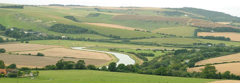
The Adur and Ouse catchment is a beautiful part of south east England, showcasing iconic landscapes, from the high weald and rolling chalk grassland of the South Downs, to the stark white cliffs of the south coast. The catchment covers some 1070km2 and encompasses the lowland rivers Adur and Ouse, and the Teville stream.