Ouse Upper Operational Catchment
Water bodies
There are 26 water bodies in this operational catchment.
Filter map layers
Data
Protected Areas
About
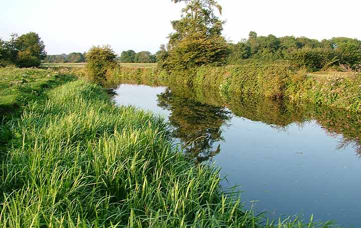
The river Ouse a Celtic word for water - rises near lower Beeding as a number of shallow, forest streams and meanders south over Weald clay. The clay geology gives the river a flashy character with unreliable summer flows and winter flows prone to flooding, such as at Uckfield and Lewes, where the river becomes tidal. The Ouse has a history of navigation and milling and has been modified over time for early industry, flood defence, drainage and abstraction. This has resulted in a legacy of structures and impoundments that regulate river flow and levels, particularly in the middle stretches.