Windrush Operational Catchment
Water bodies
There are 19 water bodies in this operational catchment.
Filter map layers
Data
Protected Areas
About
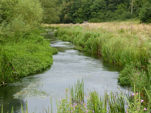
The Windrush operational catchment is split between Gloucestershire in the West and Oxfordshire in the East. The area is predominantly rural in character, with Witney being the main population centre in the catchment. Other towns include Northleach, Burford and Faringdon. The southernmost boundary of this catchment is within the Vale of White Horse District Council area. The remainder is split between Cotswold District and West Oxfordshire Councils.A navigable stretch of the River Thames flows through the south of the Windrush catchment. BBOWT’s largest national nature reserve, Chimney Meadows, lies at the centre of BBOWT’s Upper Thames Living Landscape project.