Mole Management Catchment
Operational catchments
There are 2 operational catchments in this management catchment.
Filter map layers
Data
Protected Areas
Catchment Partnerships Pages
To view the catchment partnership pages switch to the river basin management plan
About
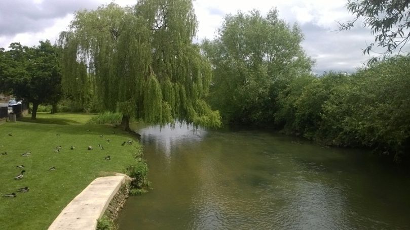
Much of the rivers course flows over the Wealden and London clays. However, between Dorking and Leatherhead, in the area known as the Mole Gap, the river cuts its way through the North Downs chalk. In this area some of the river water disappears through holes in the chalk in to the groundwater aquifers before flowing back in to the river near to Leatherhead. This phenomenon has been suggested as giving the river its name. However it is more likely that name originates from the Latin for mill (Mola) or from the town Molesey where the river meets the Thames.