Romney Marsh South Operational Catchment
Water bodies
There are 10 water bodies in this operational catchment.
Filter map layers
Data
Protected Areas
About
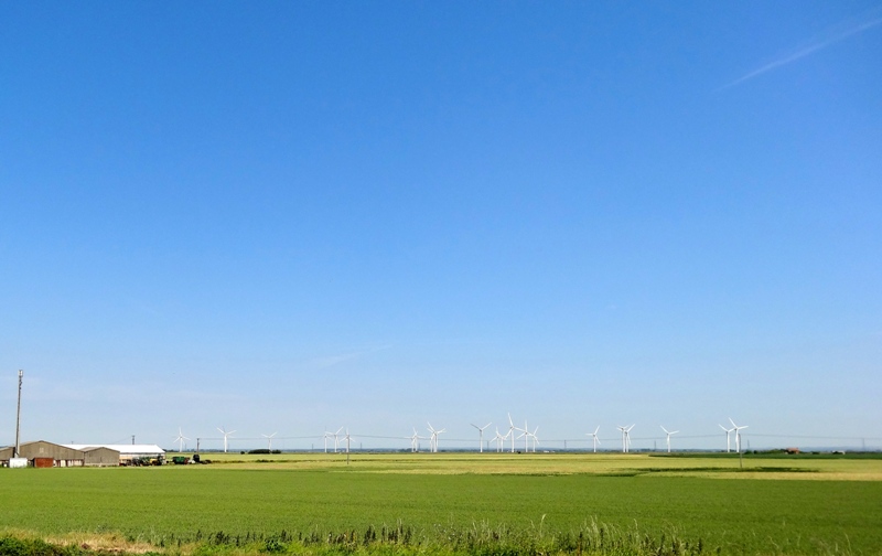
The Romney Marsh South operational catchment is mostly rural and surrounded by bathing beaches. The iconic landscape is extremely important to the local economy, attracting many visitors year round. Two thirds of the operational catchment is within the Dungeness, Romney Marsh and Rye Bay SSSI, which is of international conservation importance for its plant and invertebrate communities, geomorphology and birdlife. The area also has a number of drinking water protected areas and nitrate vulnerable zones. Commercial gravel extraction has shaped the landscape creating numerous large lakes, and the watercourses are part of a managed system of ditches, structures and pumps.