Kent North Medway Chalk Operational Catchment
Water bodies
There are 1 water bodies in this operational catchment.
Filter map layers
Data
Protected Areas
About
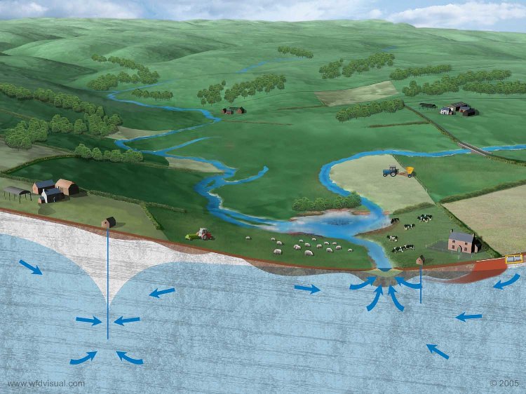
The North Kent Swale Chalk is an outcrop of chalk (Principal Aquifer) situated along the North Downs. It is a Drinking Water Protected Area. Flow through the aquifer is predominantly via fractures in the rock. To the north it dips under the North Kent Tertiaries groundwater body. The western boundary is with the North Kent Medway Chalk groundwater body, whilst to the east and south it meets impermeable clay rocks. The groundwater is naturally of good quality, supplying large public, industrial, agricultural, and private water supplies. Springs feed into the North Kent marshes and their associated surface water bodies.