Calder Operational Catchment
Water bodies
There are 19 water bodies in this operational catchment.
Filter map layers
Data
Protected Areas
About
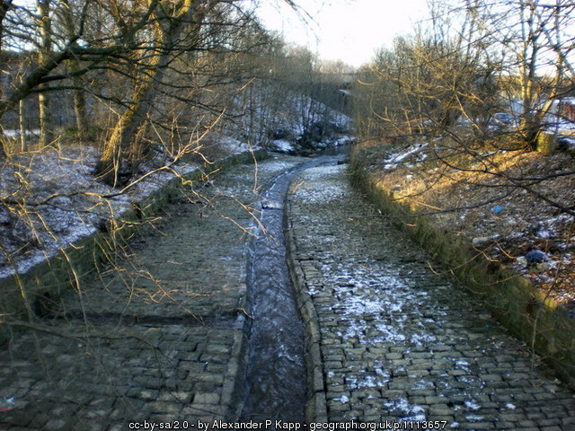
The topography of the River Calder has been significantly impacted by the Cotton Industry. There are numerous weirs and manmade channels. East of Padiham the river was diverted in the 19th century away from Gawthorpe Hall because of pollution. It has since been returned to its original course.