Cound Brook Operational Catchment
Water bodies
There are 8 water bodies in this operational catchment.
Filter map layers
Data
Protected Areas
About
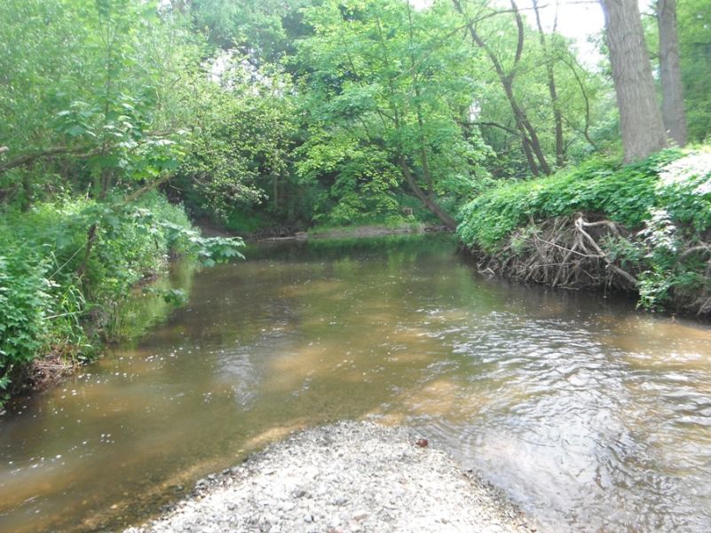
The Cound Brook catchment is south of the town of Shrewsbury and includes Church Stretton, Leebotwood, Picklescott, Dorrington, Acton Burnell and Condover. The head of the catchment is hilly and river levels respond quickly to rainfall. Cound Brook flows from the Long Mynd through a rural area before reaching the River Severn at Cound. The catchment is a designated Water Safeguard Zone for raw water supply. There are several SSSIs and several major tributaries including the Coundmoor Brook and Row Brook. The Cound Brook supports key biodiversity action plan species such as salmonids, native crayfish and otters.