Duddon Operational Catchment
Water bodies
There are 10 water bodies in this operational catchment.
Filter map layers
Data
Protected Areas
About
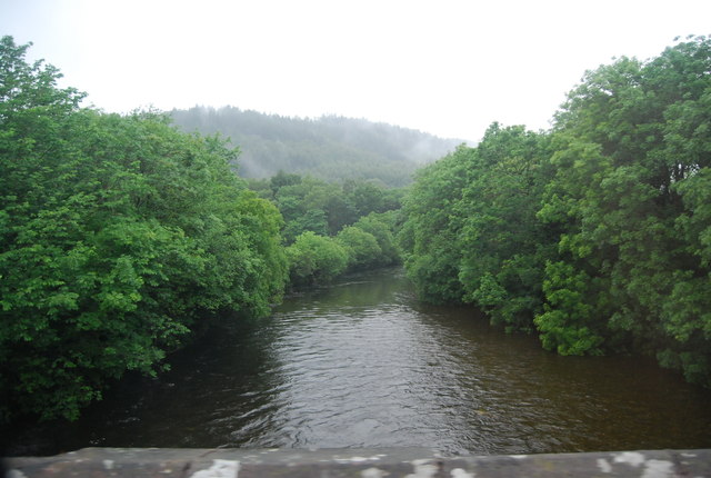
The Duddon operational catchment rises in the south-western Lakeland fells before entering the Irish Sea north of the main town of Barrow-in-Furness. Land use is dominated by sheep/beef farming, with managed forests in the upper catchment. Large parts lie within the Lake District National Park with a small healthy tourist industry. Important salt marsh habitat exists in the Duddon estuary with several designated bathing waters and shellfish waters on the coast. Key species include Atlantic salmon and Sea trout. The principle aquifer in the Barrow-in-Furness area, along with the River Duddon, Harlock and Poaka Beck reservoirs, are public water supplies.