Malvern Hills Operational Catchment
Water bodies
There are 4 water bodies in this operational catchment.
Filter map layers
Data
Protected Areas
About
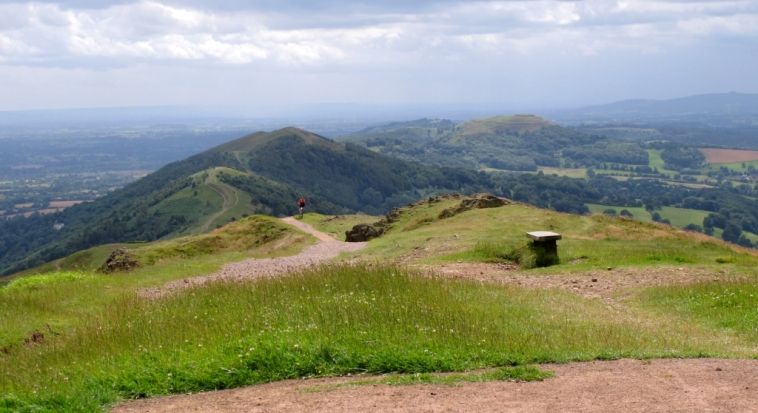
The Malvern Hills catchment is predominantly rural with one main urban area of Malvern and water bodies in the area all draining the steep eastern slopes of the Malvern Hills. The main watercourses are the Careys, Madresfield, Mere and Pool brooks, which all flow into the River Severn.
