Tone Operational Catchment
Water bodies
There are 16 water bodies in this operational catchment.
Filter map layers
Data
Protected Areas
About
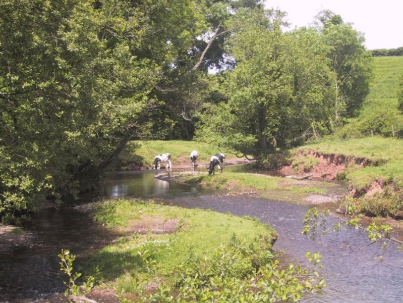
The River Tone is 33 kilometres long from its source to the confluence with the River Parrett, covering an area of approximately 414 square kilometres. The River Tone and its tributaries drain Exmoor, the Brendon, Quantock and Blackdown Hills. Downstream the Tone enters Clatworthy Reservoir and runs South to Taunton; the Tone becomes tidal at Newbridge before joining the Parrett at Burrowbridge. The Bridgwater and Taunton Canal (24.6km) leaves the Tone in Taunton and flows on to Bridgwater to the tidal River Parrett. Predominant land uses in the catchment are permanent pasture, arable and sheep and cattle grazing and woodland.