Somerset South and West Management Catchment
Operational catchments
There are 4 operational catchments in this management catchment.
Filter map layers
Data
Protected Areas
Catchment Partnerships Pages
To view the catchment partnership pages switch to the river basin management plan
About
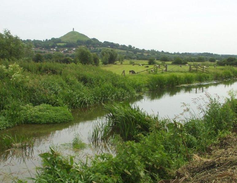
The South and West Somerset (S&WS) management catchment is a varied landform and includes the manmade Somerset Levels and Moors (SL&M), mostly below sea level. The rivers Parrett, Tone, Brue and Axe, which flow into the SL&M, are influenced in their river chemistry, flow and form by the surrounding hills. The West Somerset Streams flow from Exmoor and are flashy in nature. This catchment includes the Bridgwater and Taunton canal. On the SL&M, rivers have been modified and embanked; levels and flow are manipulated with sluices and pumps to produce lowland wet grassland and wet fencing typical of this landscape. The area is one of the largest wetlands in Britain and home to wildlife of national and international importance. The free flowing tidal reaches bring silt upriver from the Severn Estuary which is a designated Special Area for Conservation and Ramsar site. There are EU designated bathing waters located along the coast. Water is stored in the catchment and used for public water supply and industry. Agriculture is the dominant land use, mainly arable, dairy and beef. The countryside and coastline is important economically for tourism and recreation. The lakes and reservoirs in the catchment are popular for fishing, boating and walking and there is commercial fishing for elvers in the tidal rivers. The River Axe is currently included within the Bristol Avon and North Somerset Streams (BA&NSS) management catchment (Severn RBD). We are proposing amending the management catchment boundary so the Axe is included in the S&WS management catchment. Therefore, this document refers to the Brue and Axe operational catchment which is the proposed operational catchment to be included in the S&WS management catchment.