Bure Operational Catchment
Water bodies
There are 30 water bodies in this operational catchment.
Filter map layers
Data
Protected Areas
About
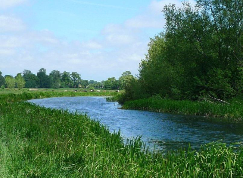
The river Bure rises at Melton Constable and flows south west through the heart of the Broads towards the sea at Great Yarmouth. Downstream of Wroxham, it is joined by the Ant and then the Thurne. This low lying area, incorporating many of the broads, presents a particular challenge to balance the needs of wildlife, water level management, tourism, agriculture and cultural heritage. The upper Bure is steeper and impacted by sediment runoff and morphology due to historic management.