Douglas Management Catchment
Operational catchments
There are 2 operational catchments in this management catchment.
Filter map layers
Data
Protected Areas
Catchment Partnerships Pages
Catchment Partnerships work at a catchment scale to improve local environmental understanding and encourage community participation through collaboration and integration leading to improved actions.
About
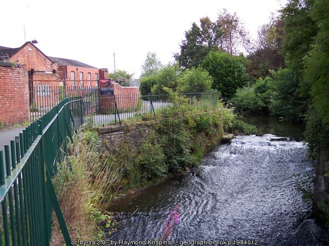
The River Douglas flows from Winter Hill, high on the West Pennine Moors, through rural landscape and urban sprawl until it meets the Ribble Estuary. It is fed by a number of significant reservoirs which help to provide drinking water to parts of Lancashire and Greater Manchester. The catchment isnt just made up of the River Douglas it contains many local water bodies such as the Rivers Tawd, Yarrow and Lostock, Carr Brook, Wymott Brook, the Leeds and Liverpool Canal and the Wigan Flashes. Significant towns include Wigan, Chorley, Leyland and Skelmersdale. The population of the catchment is over 800 000 people.