Severn Middle Worcestershire Management Catchment
Operational catchments
There are 7 operational catchments in this management catchment.
Filter map layers
Data
Protected Areas
Catchment Partnerships Pages
Catchment Partnerships work at a catchment scale to improve local environmental understanding and encourage community participation through collaboration and integration leading to improved actions.
About
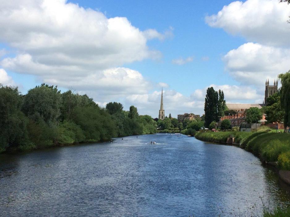
The River Severn and its tributaries are highly valued for their landscape and potable drinking water supply. The catchment extends from the southern end of Telford, through the rural areas of West Shropshire, the urban conurbations of Bridgnorth, Kidderminster, Stourport, Bromsgrove and Droitwich into the city of Worcester. It is a highly diverse catchment with both urban and rural pressures. The area contains a wide diversity of habitats and is home to the last substantial water vole (BAP Species) populations in the county. The River Severn is heavily used for recreation, including angling and boating. Ironbridge is a UNESCO site of historic cultural importance. The rural areas consist of a wide range of farming activities, arable, livestock, dairy, horticulture and orchards. The area contains a wide diversity of habitats and a number of designated wetland sites. Notable sites include Wilden Marsh, Puxton and Stourvale Marshes, Upton Warren, Hurcott and Podmore, Hartlebury Common and Hillditch Coppice. The Meres and Mosses are all Sites of Special Scientific Interest (SSSI) and form part of a nationally important series of open water and peatland sites. Designated due to their unique habitat which provides for rich aquatic flora & fauna. Most of the catchment is designated a Nitrate Vulnerable Zone. Several heavily modified waterbodies within the catchment, River Severn and Spadesbourne Brook.