Shropshire West Operational Catchment
Water bodies
There are 8 water bodies in this operational catchment.
Filter map layers
Data
Protected Areas
About
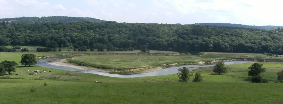
This Operational catchment extends from Shrewsbury down to Church Stretton with a stretch then following the River Severn through to Bridgnorth and further South to the Shropshire/Worcestershire border.