Waver and Wampool Management Catchment
Operational catchments
There are 1 operational catchments in this management catchment.
Filter map layers
Data
Protected Areas
Catchment Partnerships Pages
Catchment Partnerships work at a catchment scale to improve local environmental understanding and encourage community participation through collaboration and integration leading to improved actions.
About
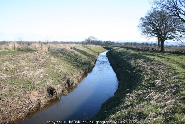
The River Waver and River Wampool catchment is situated in north west Cumbria. The catchment drains an area of approximately 359km2 with its source in the Lake District hills then flowing westerly to the flat Cumbrian coastal plains. The key tributaries include Causeway Beck, Crummock Beck, Holme Dub, Wiza Beck, Pow Beck, Cuddyarch Sough and Monks Drain.