Solway Tweed River Basin District
Management catchments
There are 6 management catchments in this river basin district.
This river basin district crosses the border with Scotland. To access data and information on the Scottish side of the border, visit River basin management planning | Scottish Environment Protection Agency (SEPA).
Filter map layers
Data
About
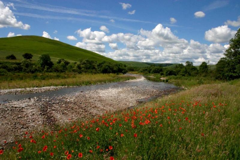
The Solway Tweed River Basin is a cross border river basin which includes Scottish and English waterbodies that flow into the Solway and Tweed estuaries. The river basin is jointly managed by the Environment Agency and the Scottish Environment Protection Agency. The river basin has an area of around 17,500km2, and incorporates the Scottish Borders, Dumfries and Galloway and parts of Cumbria and Northumberland. The river basin includes the important salmon rivers of the Tweed, the Eden and those within Dumfries and Galloway. The natural characteristics of these waters vary considerably from upland streams running over granite rocks to the wide open mud flats of the Solway estuary. The area is home to approximately 450,000 people and important economic activities include agriculture, tourism, forestry and manufacturing. The water environment is a major part of the Solway Tweed's best known and loved landscapes, including parts of the Southern Uplands and the Lake District an Northumberland National Parks. The river basin is largely rural and supports a wide range of internationally important habitats and wildlife with many of the waterbodies designated as Special Areas of Conservation and Special Protection Areas. The updated plan for this River Basin District is being produced by the Scottish Environment Protection Agency. Please see their website at http://sepa.org.uk/water/river_basin_planning.aspx for more details