Chipping Norton Jurassic Operational Catchment
Water bodies
There are 1 water bodies in this operational catchment.
Filter map layers
Data
Protected Areas
About
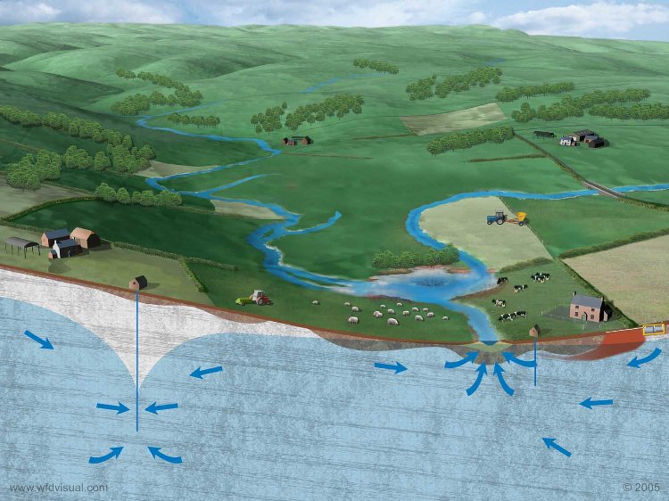
The Chipping Norton Jurassic Groundwater Body (GWB) describes part of the Great and Inferior Oolite geological strata that lie beneath the Cotswolds. The Oolites are limestone aquifers - water-bearing permeable strata that provide a high level of storage. Since they support regionally important drinking water supplies these aquifers are classified as Principal Aquifers. Within the Groundwater Body the Inferior Oolites are comprised of a relatively thin layer and are absent from many areas. The Fullers Earth which separate the Inferior and Great Oolites in many areas are also largely absent. Consequently there is little confinement of the Oolites across the GW body. As such where they are exposed at the surface the Oolites are susceptible to vertical migration of chemicals, including fertilisers.