Thames River Basin District
Management catchments
There are 20 management catchments in this river basin district.
Filter map layers
Data
About
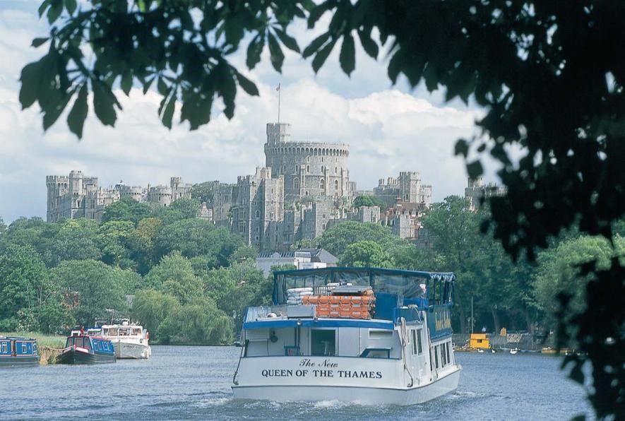
The Thames river basin district covers over 16,200km2. It encompasses all of Greater London and extends from north Oxfordshire southwards to Surrey and from Gloucester in the west to the Thames Estuary and parts of Kent in the east. In total over 15 million people live in the Thames district with many entering daily to work or visit. In addition to Greater London, other urban centres in the river basin district include Luton, Reading and Guildford. The Thames river basin district has a rich diversity of wildlife and habitats, supporting many species of global and national importance from chalk streams such as the River Kennet to the Thames Estuary and salt marshes. The management catchments that make up the river basin district include many interconnected rivers, lakes, groundwater, estuarine and coastal waters. These catchments range from chalk streams and aquifers to tidal and coastal marshes. The river basin district is mostly rural to the west and very urban to the east where it is dominated by Greater London. Around 17% of the river basin district is urbanised and the rural land is mainly arable, grassland and woodland. The economy is dominated by Greater London and the finance sector.