Thames Upper Gravels Operational Catchment
Water bodies
There are 1 water bodies in this operational catchment.
Filter map layers
Data
Protected Areas
About
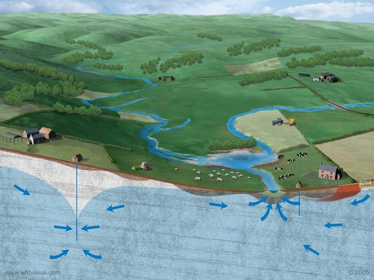
The Upper Thames Gravels Groundwater Body (GWB) describes the sand and gravel drift deposits that directly overlie the Oxford Clay and West Walton Formation Mudstone (Unproductive Strata). The groundwater is perched in the gravels above the Unproductive Strata and since groundwater is shallow it is therefore susceptible to vertical migration of chemicals, including fertilisers, applied at the surface. The Upper Thames Gravels GWB crosses the boundary of the Swindon and Upper Thames and Windrush WFD River Catchments. The Upper Thames Gravels GWB consists of the Summertown-Radley Sand and Gravel Member, the Northmoor Sand and Gravel Member and alluvial deposits - all three drift deposits are classified as Secondary A Aquifers. Secondary A Aquifers are permeable layers capable of supporting water supplies at a local rather than strategic scale, and in some cases form an important source of base flow to rivers. Since the underlying solid geology is clay, these sand and gravel deposits provide the only base flow for the River Thames and its tributaries in this location.