West Kent Darent and Cray Chalk Operational Catchment
Water bodies
There are 1 water bodies in this operational catchment.
Filter map layers
Data
Protected Areas
About
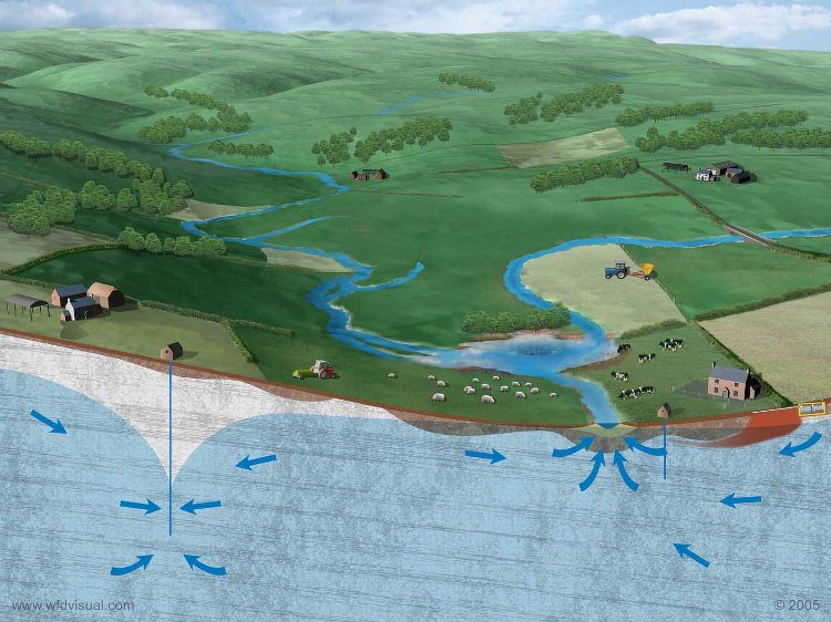
The West Kent Darent & Cray Chalk is an outcrop of chalk Principal Aquifer situated along the North Downs. It is a Drinking Water Protected Area.
