Witham Upper Operational Catchment
Water bodies
There are 21 water bodies in this operational catchment.
Filter map layers
Data
Protected Areas
About
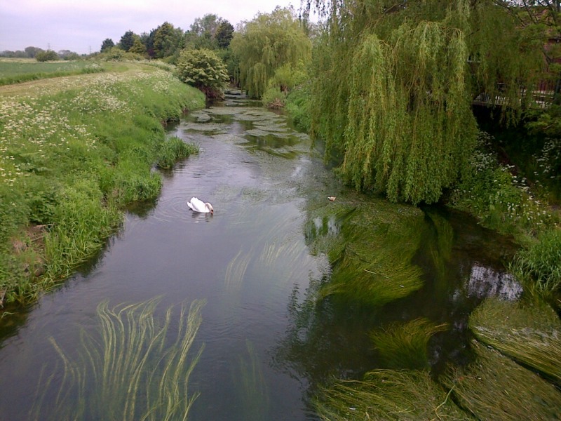
The Upper Witham operational catchment covers the River Witham and its tributaries from its source at South Witham to Stamp End Sluice in Lincoln. The River Brant and River Till are within this operational catchment. Grantham, North Hykeham and Lincoln are the significant urban areas within this largely rural catchment. The River Till drains land to the east of Gainsborough. The Fossdyke Canal provides a navigable link from the River Trent to the River Witham. There are a number of protected areas in the catchment including drinking water protected areas, urban waste water directive sensitive sites and nutrient sensitive zones.