Darent and Cray Management Catchment
Operational catchments
There are 2 operational catchments in this management catchment.
Filter map layers
Data
Protected Areas
Catchment Partnerships Pages
Catchment Partnerships work at a catchment scale to improve local environmental understanding and encourage community participation through collaboration and integration leading to improved actions.
About
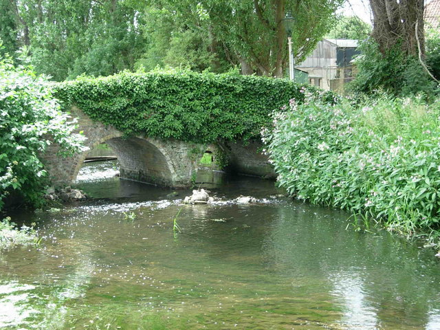
The Darent is a predominantly chalk catchment covering 155sq miles. From the source on the Greensand hills above Westerham it flows east to Sevenoaks before turning north and flowing to Dartford where it meets the Thames Estuary. At the Dartford marshes the River Cray, the largest tributary within the catchment, joins the Darent.