Brock and Trib Operational Catchment
Water bodies
There are 4 water bodies in this operational catchment.
Filter map layers
Data
Protected Areas
About
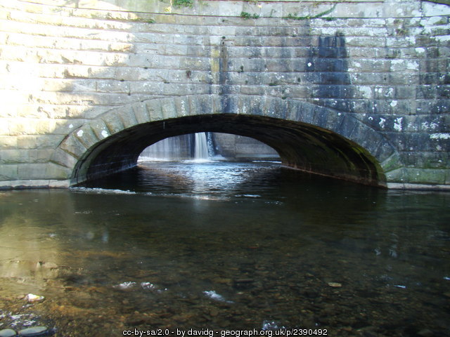
The Brock and tributaries drain a mainly rural environment. The main types of farming are dairy, with some intensive poultry units. There are numerous private sewage treatment plants and one major United Utilities sewage treatment works at Barton. The Brock itself is siphoned under the Lancaster canal, one of the major restrictions top fish and wildlife movement. Both the M6 and A6 cut across these waterbodies. Bleasdale Fell and Brock Bottom are popular walking areas with both local people and tourists.