Wyre Management Catchment
Operational catchments
There are 3 operational catchments in this management catchment.
Filter map layers
Data
Protected Areas
Catchment Partnerships Pages
To view the catchment partnership pages switch to the river basin management plan
About
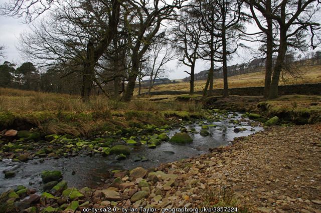
The Wyre Catchment features a wide variety of habitats. The catchment drains a small area in North West Lancashire. It is bordered by the Lune catchment to the North and the Ribble Catchment to the South and East. The upper reaches of the catchment are centred on the Bowland Fells. The catchment then takes in the Amounderness plain at the base of the fells, which features towns such as Garstang and villages that are situated to the north of Preston. The lower catchment takes in the northern Fylde Coast and the villages of the Over Wyre area such as Hambleton and Stalmine. The catchment supports a wide variety of flora and fauna for instance the estuarine area of the catchment is a key feeding location for many internationally important species of wading bird such as the Eurasian Oyster Catcher and the Redshank, whilst the mid river is home to Salmon and Sea Trout. The Bowland Fells at the top of the catchment support many species of bird such as the Marsh Harrier and the Lapwing along with invertebrate species like the Manchester Treble Bar Moth. The vast majority of the Bowland Fells are within the Forest Of Bowland Area of Outstanding Natural Beauty they also host many SPAs and SSSIs, which are areas of habitat that are nationally designated, these designations are in place to protect the flora and fauna that is contained within them.