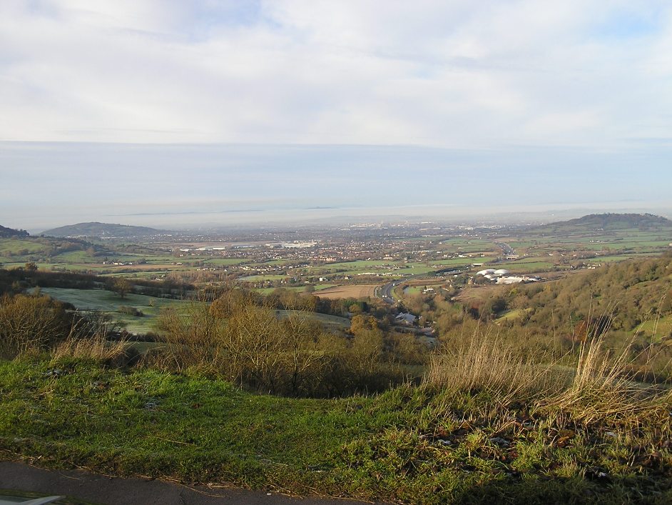
Severn Vale Management Catchment
Operational catchments
There are 8 operational catchments in this management catchment.
Filter map layers
Data
Protected Areas
Catchment Partnerships Pages
Catchment Partnerships work at a catchment scale to improve local environmental understanding and encourage community participation through collaboration and integration leading to improved actions.
About
This Surface Water catchment contains one or more of the following types of water bodies: River, Lake, Transitional (Estuarine), Coastal
