Cray and Shuttle Operational Catchment
Water bodies
There are 3 water bodies in this operational catchment.
Filter map layers
Data
Protected Areas
About
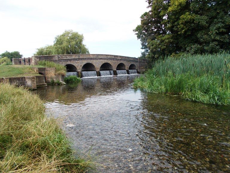
The River Cray chalk stream is approximately 9 miles long, rising from natural ponds in Orpington it resides within a highly urban catchment. Within the upper catchment it flows mainly through artificial channels and culverted sections. In the middle and lower reaches the river flows through the grounds of semi-natural parkland in Footscray Meadows and Hall Place and is more natural in character exhibiting a more sinuous course with important in-channel features present. The river supports a high quality biological diversity including a healthy population of water voles but like many urban rivers the Cray is vulnerable to pollution incidents.